MOUNTAIN VIEW COUNTY - A wildfire in the Rocky Mountain House Forest Area northwest of Sundre that ignited Saturday is classified as being held.
“This classification indicates that, given current weather conditions and available resources, the wildfire is not expected to grow beyond its existing boundaries,” Mountain View County’s 10:45 p.m. May 3 update said.
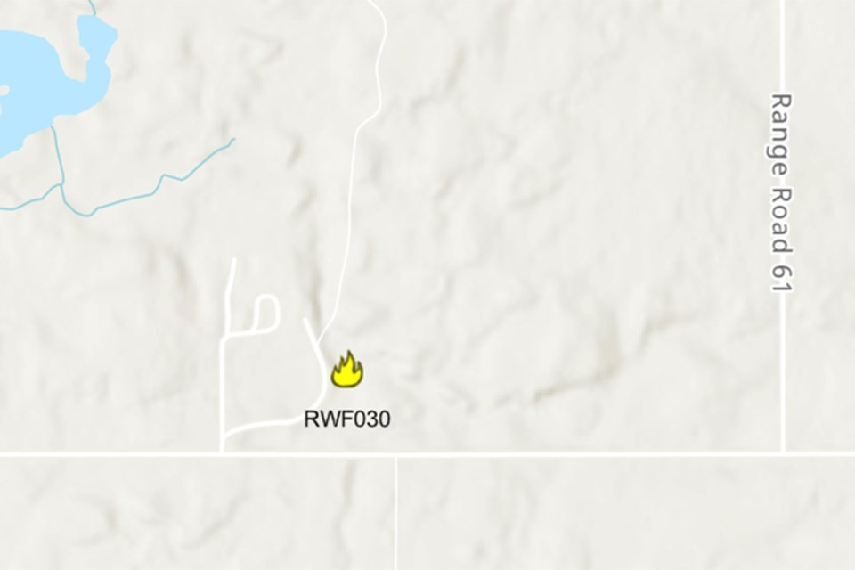
The fire was discovered west of Range Road 61 and north of Township Road 334 in the county Saturday. The location is in the Rocky Mountain House Forest Area to the east of Bearberry.
Parts of Mountain View County are included in the forest area, namely west of Sundre and Bergen, covering Coal Camp and Bearberry west of Range Road 60 from Township Road 312 to the north boundary of the county.
The cause of the fire is under investigation.
By 6 p.m. the fire was estimated to be approximately 35 hectares in size.
According to a provincial government update at the time, crews responded quickly and made good progress.
They were supported by helicopters conducting bucketing operations, air tankers dropping retardant and heavy equipment working to establish a containment line around the fire.
Mountain View County’s late night update said that while the fire remains active, containment efforts have been effective, and the situation is stable.
“Authorities continue to monitor the area closely, and suppression activities are ongoing to ensure the fire remains within control lines. Residents in the vicinity are encouraged to stay informed and prepared.”


