Environment and Climate Change Canada issued a severe thunderstorm watch for Mountain View and Red Deer counties as well as the urban centres near them Wednesday afternoon.
Severe thunderstorm watches are issued when conditions are favourable for the development of thunderstorms capable of producing damaging hail, wind or rain.
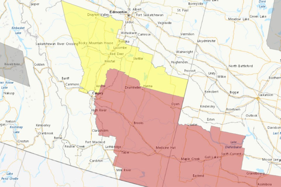
The watch was issued for 19 Alberta municipalities, special areas and reserves including:
• Mountain View County near Sundre, Cremona, Water Valley, Didsbury, Carstairs and Olds; and
• Red Deer County near Innisfail, Penhold, Bowden, Elnora, Lousana, Delburne, Pine Lake Spruce View, Red Lodge Provincial Park and Sylvan Lake.
“Conditions are favourable for the development of dangerous thunderstorms that may be capable of producing damaging wind gusts and large hail,” the federal agency’s 12:05 p.m. July 9 weather alert for the affected areas in the counties said.
At the time, the federal agency’s meteorologists said thunderstorms were beginning to develop in west-central Alberta and will move east throughout the day.
“Some of these thunderstorms may become severe this afternoon. Thunderstorms are expected to be moving very fast today, possibly more than 60 km/h. There is also a very slight risk of a tornado,” the weather alert said.
Heat warnings were still in place Wednesday afternoon for Kneehill County near Torrington, Wimborne, Three Hills, Trochu, Huxley, Acme, Linden and Carbon.


