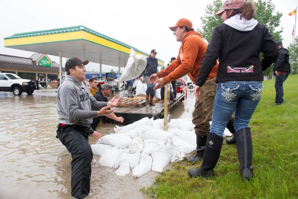
MOUNTAIN VIEW COUNTY - Mountain View County council plans to review the recently-released Upper Red Deer River Hazard Study over the coming weeks, looking at how it may impact land use and development along the waterway, as well as how it may impact the county's statutory plans, says reeve Angela Aalbers.
The study assessed and identified flood and river-related hazards along 85 kilometres (km) of the Red Deer River and 17 km of Bearberry Creek, through Mountain View County, Sundre, Clearwater County and Red Deer County.
It was released by the province in September and brought before council at the recent, regularly-scheduled council meeting. The study was conducted by Golder Associates Ltd. and submitted to Alberta Environment and Parks.
“Council will need time to review the impact to land use and development and will want to proceed in a way that respects landowner rights while still being able to provide emergency services, manage risk to our ratepayers with respect to infrastructure in hazard areas and protect the environment, our residents and businesses,” Aalbers told the Albertan.
The study includes maps that show floodway, flood fringe, high hazard flood fringe, protected flood fringe, overland flow (flood fringe) and flood berms.
It also includes open water flood hydrology assessments, hydraulic modelling and flood inundation mapping, open water flood inundation, flood risk assessment and inventory reports.
“The assessment involved comparison of the flood extents created as part of the open water flood inundation and design flood hazard mapping components of the study, with the collected and interpreted spatial data that contains an inventory of land parcels, buildings, major transportation infrastructure, and population,” the study states.
“Flood risk statistics were calculated to quantify flood vulnerabilities for each of the 13 open water flood scenarios and the design flood scenario.”
The main results of the flood risk assessment for the 13 open water flood scenarios included the following:
• The number of land parcels, buildings and population, as well as the length of roads affected increase steadily from the two-year flood to the 1,000-year flood.
• A large increase in the affected population occurs in Sundre between the 75-year and 100-year floods, as residential neighbourhoods between Bearberry Creek and Main Avenue West are affected. A second large increase occurs between the 350-year and 500-year floods as residential neighbourhoods behind the Sundre east dike are affected.
• No critical, non-residential buildings (i.e. hospitals, schools, or water treatment facilities) in the study area would be affected by any of the flood scenarios.
• The length of roads affected by direct flood inundation remains low at the two-year flood and then increases steadily from the five-year flood to the 1,000-year flood.
• Some of the major roads that would be affected are Highway 766 south of Township Road (Twp. Rd.) 355, Highway 587 east of the Red Deer River crossing, Range Road (Rge. Rd.) 52 between Twp. Rd. 334 and 332, Main Avenue West and Highway 27 in the town of Sundre, Highway 760 south of the intersection with Main Avenue East and Highway 584 west of the intersection with Highway 22.
During the Oct. 9 council meeting, councillors carried a motion setting out next steps.
“Council has requested administration set up a workshop to review the finalized upper Red Deer River flood mapping and potential impacts to our current statutory plans,” she said.
“Flood hazard mapping has previously been done in both the McDougal Flats area and the town of Sundre, the new mapping supersedes the old maps and also includes sections of the Bearberry Creek and extends along the Red Deer River from the Coal Camp Road subdivision up to the Dickson Dam.”
The complete study is available for viewing alberta.ca/final-flood-maps.


