Environment and Climate Change Canada issued a severe thunderstorm watch for much of central Alberta Thursday including Red Deer and Mountain View counties and the urban centres near them.
“Thunderstorms are expected develop this afternoon and evening over western and central Alberta,” the federal agency’s 12:54 p.m. July 24 weather alert said. “These thunderstorms may become severe, producing large hail, strong wind gusts and local downpours.”
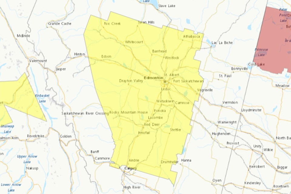
Areas included in the severe thunderstorm watch include:
Mountain View County near Sundre, Cremona, Water Valley, Didsbury, Carstairs and Olds
• Red Deer County near Innisfail, Bowden Penhold, Pine Lake, Elnora, Lousana, Delburne, Spruce View, Red Lodge Provincial Park and Sylvan Lake
• Rocky View County near Airdrie, Crossfield, Bottrel, Madden, Cochrane, Irricana, Beiseker, Kathyrn
• Kneehill County near Torrington, Wimborne, Three Hills, Carbon, Acme, Linden, Trochu and Huxley.
“Any severe thunderstorms that do develop will move to the east or southeast through the evening and overnight hours,” said the federal agency’s weather alert.
Severe thunderstorm watches are issued when conditions are favourable for the development of thunderstorms capable of producing damaging hail, wind or rain.


